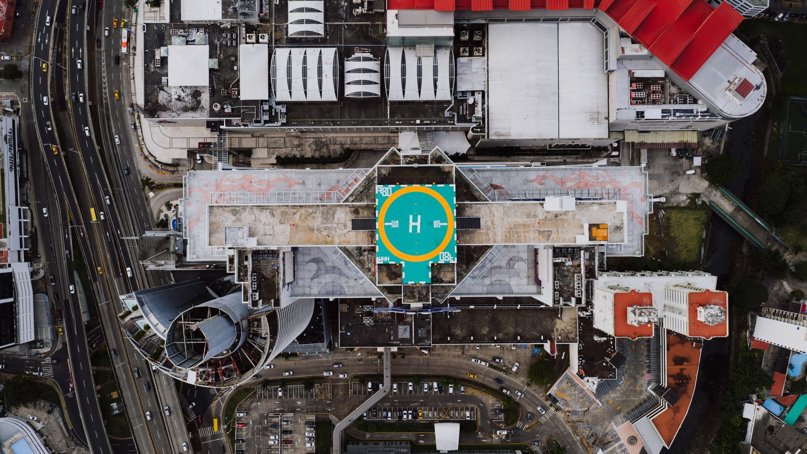
Aerial Mapping & Surveying
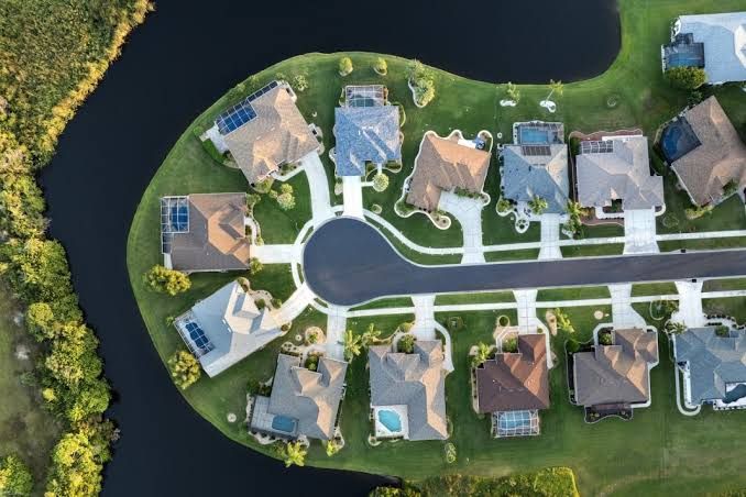
Orthomosaic maps, topographic and volumetric surveys, 3D site models and GIS-ready deliverables. Accurate site data without a ground crew walking the property.

Aerial services
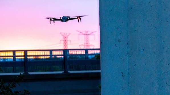
Grace3 provides drone services for solar and infrastructure inspection, aerial mapping, real estate imaging and public safety. Every flight is conducted by an FAA Part 107 certified pilot, with airspace authorization, insurance and deliverables handled as part of the engagement.
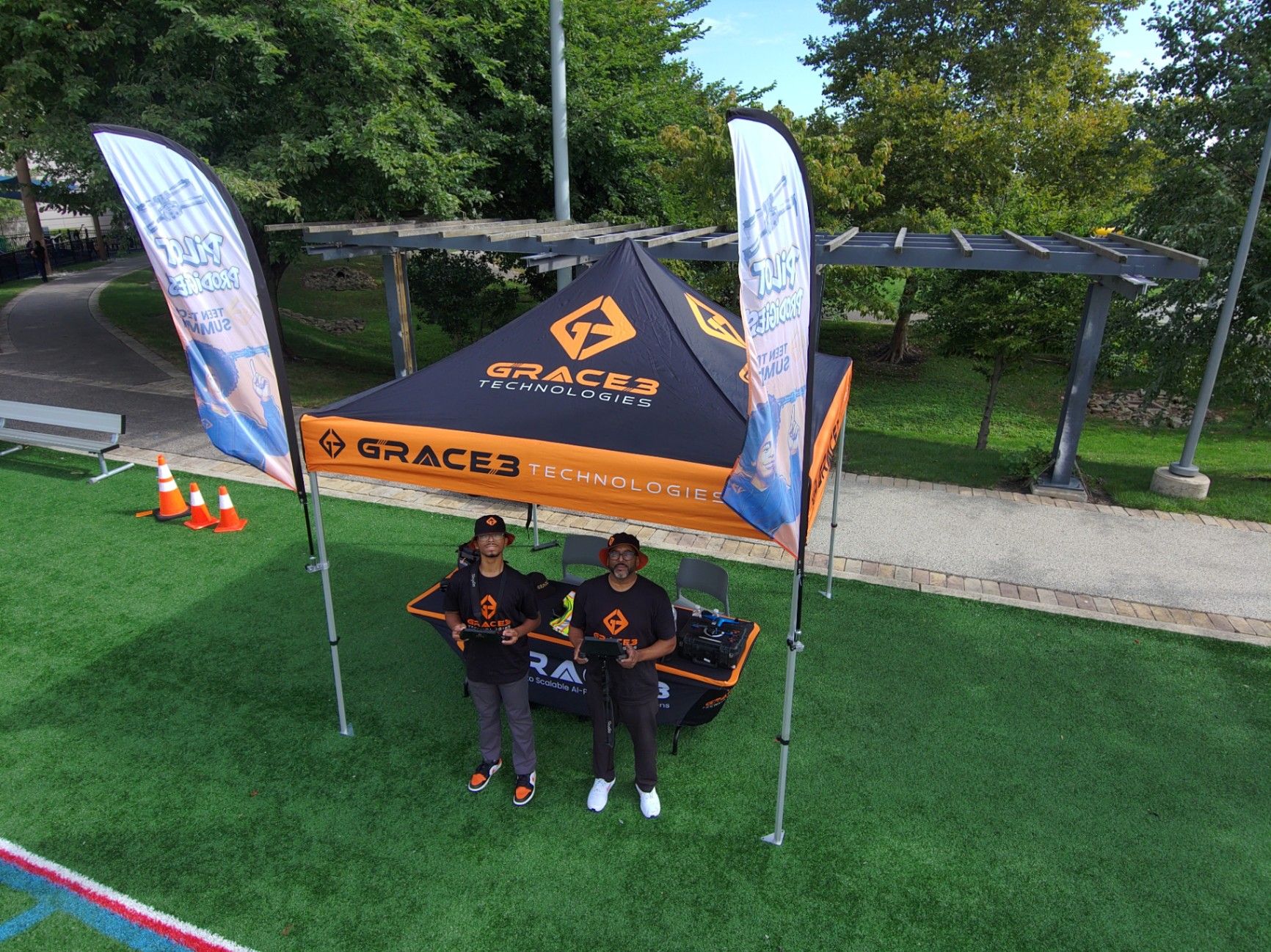
FAA Part 107 certified pilots
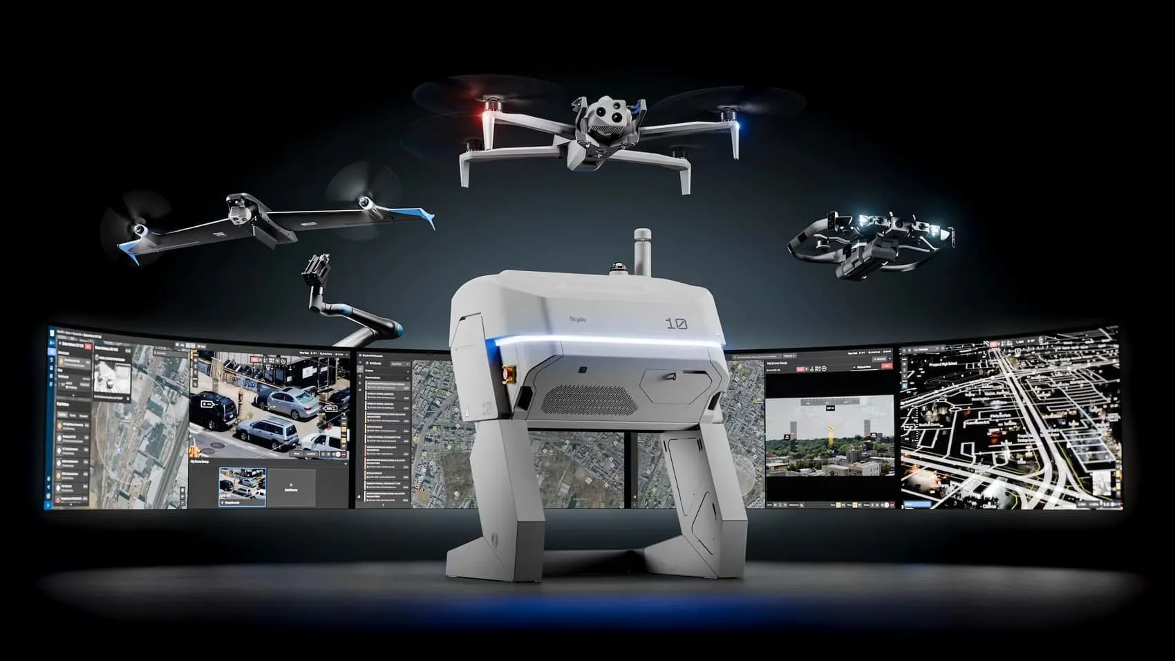
Skydio authorized dealer
45-minute quote turnaround
Fully insured operations
What we fly for
From a single roof inspection to a full mapping program, we scope the flight, fly it lawfully, and hand back data your team can actually use.
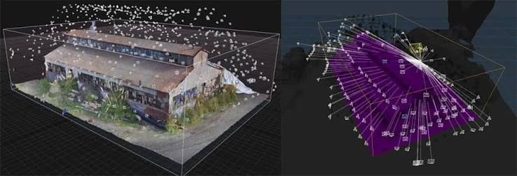
Orthomosaic maps, topographic and volumetric surveys, 3D site models and GIS-ready deliverables. Accurate site data without a ground crew walking the property.

Exterior, roof and site imagery for commercial, industrial and public properties. Documentation for listings, portfolios, land records and pre-purchase review.
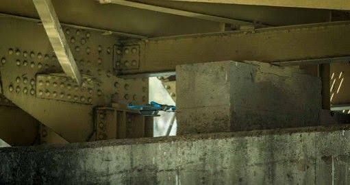
Roofs, towers, bridges, utilities and solar arrays captured in high resolution. Inspection without scaffolding, lane closures or downtime.

Repeatable flight paths and scheduled capture that document progress across the life of a project, from first stake to final walkthrough.
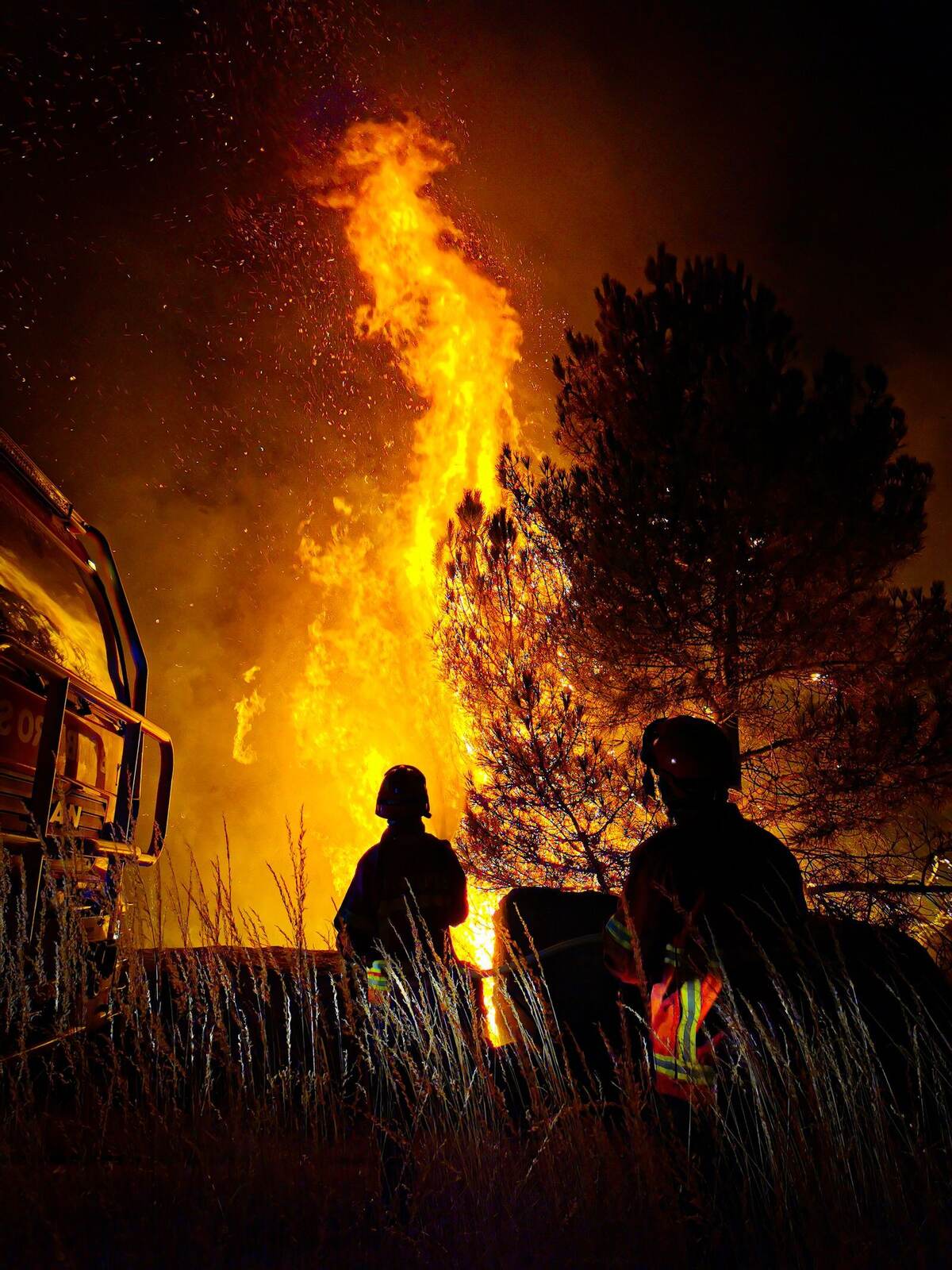
Drone as First Responder program support, incident overwatch, and post-storm damage assessment for the agencies we already serve.

Solar array inspection, thermal survey of panels and vegetation management around the array. High-resolution capture without crews on the array or service interruptions.
Licensed operations
Every Grace3 flight is performed by an FAA Part 107 certified remote pilot. We plan the mission, confirm airspace authorization before we launch, and fly inside the rules rather than around them.
The result is work you can hand to an insurer, an auditor or a regulator without a footnote. Flight planning, airspace checks, crew briefings and captured deliverables are documented as part of every engagement.
Part 107 certified pilots
Airspace authorization handled before launch
Fully insured operations
Documented flight planning and deliverables
Deliverables
You receive the imagery and the analysis, not just a folder of files. Deliverables are scoped to the decision you are trying to make.
Orthomosaic and georeferenced maps
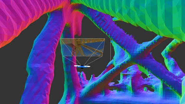
3D models and point clouds
Inspection reports with annotated imagery
Progress sets for scheduled or recurring flights
Who we fly for
Grace3 serves federal, state and local agencies, school systems, and the contractors and integrators who support them. Aerial services are available as a standalone engagement or bundled into a larger deployment.
Federal agencies
State and local government
K-12 and higher education
Critical infrastructure operators
How we engage
Most drone work is bought directly. Real estate, mapping and construction clients engage us without a contract vehicle, and a project can start with a single flight. If your organization does buy through a contract, we can bill through one as well.
Start a conversation