
Your Drone Footage Is Now Evidence: How DFR Video Holds Up in Court

Drone footage is no longer limited to tactical operations, special teams, or carefully planned searches. With Drone as First Responder (DFR) programs, drones are reaching ordinary 911 calls in approximately two minutes or less, often before ground units arrive.
That operational shift has a direct legal consequence: prosecutors, police legal advisors, and public safety agencies are now dealing with more drone video, more frequently, and in a wider range of cases.
As Ryan Kao, Director of Public Safety Strategy and Legal Counsel at Skydio and a former San Francisco prosecutor, put it during Skydio’s October 5, 2026 session with the National District Attorneys Association (NDAA): more evidence creates more questions.
The key issue is no longer whether drones can produce useful video. They can. The legal and operational questions are:
- Where was the drone allowed to fly?
- What exactly did its sensors observe?
- How long was the data retained?
- Who operated the drone?
- Can the agency authenticate the footage?
- Can the prosecutor explain the system clearly to a judge or jury?
This article provides a plain-English framework for evaluating those questions.
Important: This article provides general information, not legal advice. Laws and evidentiary standards vary by jurisdiction. Agencies should consult their own counsel before deploying or relying on DFR footage.
Why DFR Is Changing the Evidence Picture
Traditional law enforcement drone operations were usually tactical and relatively limited. A pilot was physically present, the aircraft was generally within visual line of sight, and the mission often involved a specific search warrant or planned operation.
A conventional deployment could require approximately four officers:
- A drone pilot
- A cover officer
- An action officer
- A second cover officer
DFR changes that model.
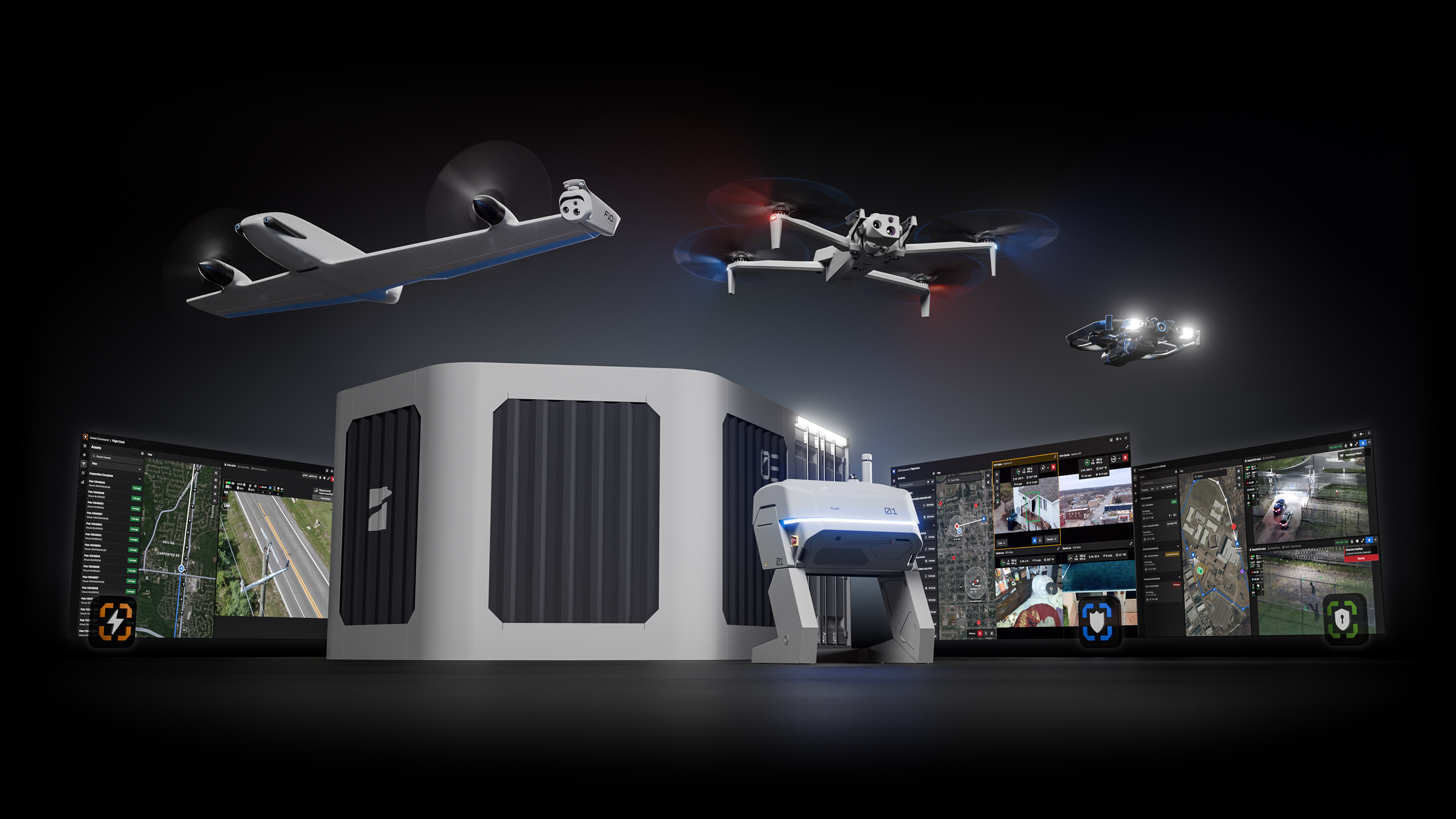
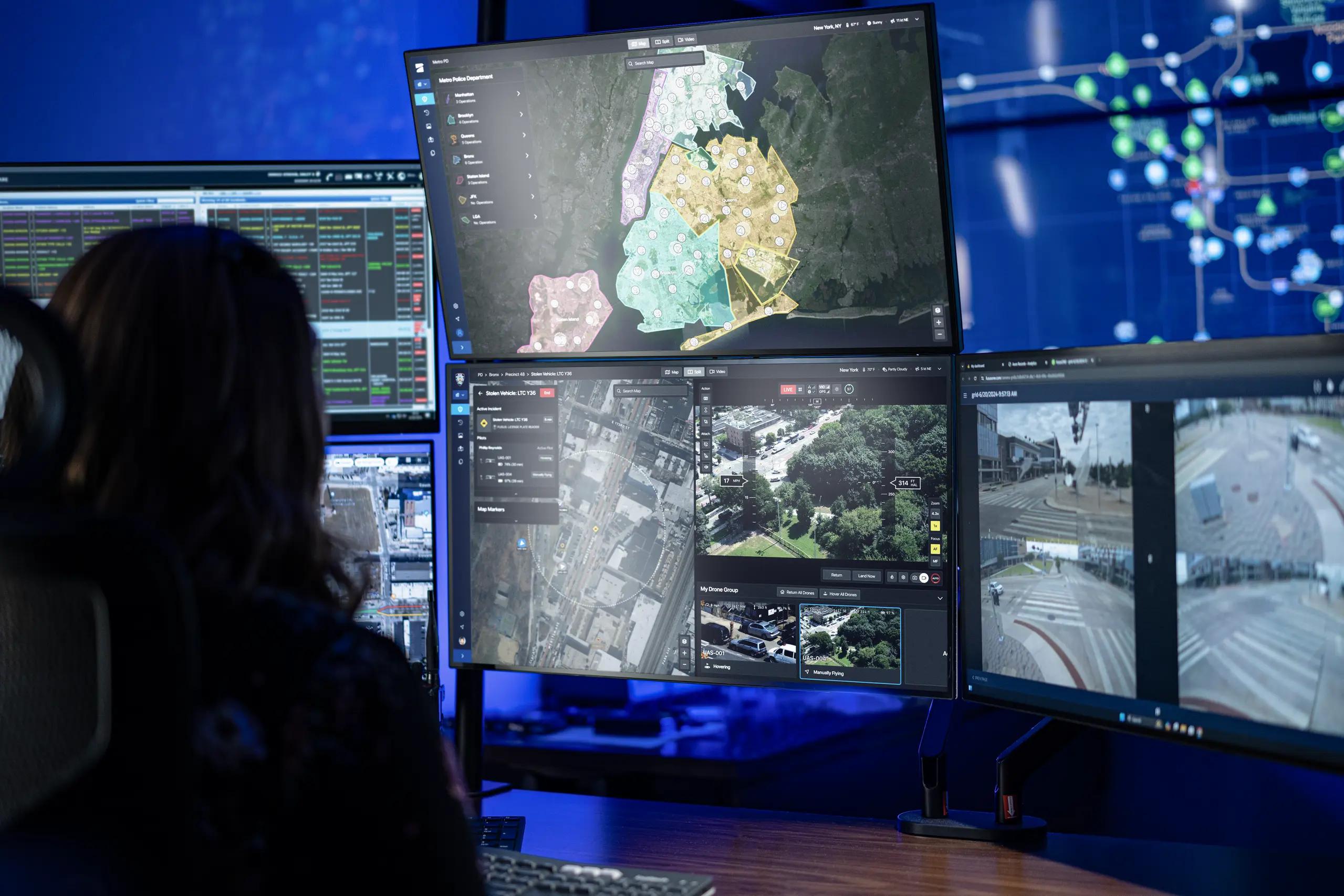
A drone may launch from a rooftop dock, recover autonomously, and be operated by a remote pilot inside a real-time crime center. The aircraft may use advanced optics, thermal imaging, and autonomous flight capabilities. It may also operate beyond visual line of sight under the agency’s approved regulatory framework. That shift affects what a drone as first responder program is at the operational level.
The response-time difference is significant. A DFR aircraft may arrive in approximately two minutes or less, compared with a priority ground response that can take seven to nine minutes.
That means drones are present for more than pursuits and major incidents. They may respond to alarms, disturbances, traffic collisions, suspicious activity, missing-person calls, and routine calls for service.
The footage may capture events before officers arrive. It may also capture conduct that no officer personally observed.
That last point matters. A remote pilot may control the aircraft without being physically present at the scene. The pilot may not be a percipient witness to what happened on the ground. The video itself may therefore become central to the case.
A Three-Part Framework for Drone Footage
A useful starting point is to analyze DFR evidence through three questions: where the drone flew, what it saw, and how the data was stored.
1. Where Did the Drone Fly?
The first question is whether the flight itself intruded on protected property rights or privacy interests.
In California v. Ciraolo (1986), the Supreme Court considered an aircraft observation from approximately 1,000 feet. In Florida v. Riley (1989), the Court considered a helicopter observation from approximately 400 feet.
Those cases emphasized several factors:
- The aircraft operated in publicly navigable airspace.
- The observation was physically nonintrusive.
- The officer’s view was not meaningfully different from what a member of the public could see.
- The flight did not create unusual noise, dust, risk of injury, or interference with property rights.
DFR aircraft, however, are not simply helicopters operating at a lower cost. Drones can fly much lower, move laterally beside structures, and position cameras in places where a helicopter could not practically operate.
A drone at 200 feet near a parking garage may see into areas that would be difficult or impossible to observe from a helicopter. That makes low-altitude overflight and aerial trespass important issues. The trespass theory discussed in United States v. Jones may also be relevant when a flight involves a physical intrusion into protected property interests.
The legal analysis will depend on the facts, including altitude, location, duration, flight path, sensor use, and the relationship between the aircraft and the property.
2. What Did the Drone See?
The second question concerns reasonable expectations of privacy and the use of enhanced sensing technology.
A practical question for agencies is:
Could a person standing lawfully in a public place have seen the same thing with the naked eye?
If the answer is yes, the drone may generally be making an observation similar to one available to the public. Courts have often treated binocular observations from lawful vantage points in a similar way.
But perspective matters. A drone’s shallow or low-angle view may reveal something that is not visible from the street. A camera positioned near a building could look into a side window or a secured yard in a way that a passing pedestrian could not.
Night vision also requires careful analysis. Basic night-vision capability is generally understood as helping an officer see what is already observable in darkness. It is not the same as X-ray vision.
Thermal imaging raises a separate issue. Kyllo v. United States (2001) cautions against using technology to obtain information about the interior of a home that could not otherwise be obtained without physical intrusion. Modern thermal systems are often used as night-vision aids over open areas, but agencies should document the purpose and context of thermal use.
The central distinction is not simply whether a drone used thermal or advanced optics. It is what information the technology revealed and whether that information involved a protected interior or intimate detail.
3. How Was the Data Stored?
The third question is the one Ryan Kao described as the “dreaded database.”
A single flight may create a manageable evidentiary record. A large DFR program may create thousands of flights, video segments, flight paths, telemetry records, and related metadata.
That accumulated record can create privacy questions separate from any individual mission.
In Carpenter v. United States (2018), the Supreme Court recognized that people may retain a reasonable expectation of privacy in the whole of their movements. Chatrie and Leaders of a Beautiful Struggle v. Baltimore Police Department also illustrate the legal sensitivity surrounding persistent or comprehensive location-based surveillance.
The practical takeaway is straightforward: agencies should not treat retention as an afterthought. It also shapes how agencies fund a DFR program, because retention, records management, and evidence workflows affect the total program design.
A defensible DFR program should establish:
- Written retention schedules
- Mission-based collection rules
- Access controls and audit logs
- Procedures for legal holds
- Rules for sharing footage with prosecutors and partner agencies
- Public transparency about flight locations, mission types, and retention practices
Limited, purposeful retention is easier to explain than indefinite storage of every flight over an entire jurisdiction.
Authentication: Getting Drone Video Into Court
Authentication does not necessarily require turning every remote pilot into an expert witness.
The NDAA and Skydio training presented a practical four-tier approach.
Tier One: Treat the Footage Like Body-Worn Camera Video
The simplest foundation may come from an officer who was present at the scene and appears in the video.
The officer can testify that the recording:
- Fairly and accurately depicts the event
- Was recorded on the relevant date and time
- Shows the officer or location as represented
This approach focuses on what the footage shows, not on qualifying the drone operator as a technical expert.
Tier Two: Use a Records Custodian
A drone program manager or records custodian may be able to establish that:
- The system was functioning as designed
- The recording was created during the normal course of operations
- The agency maintained the file in its ordinary records system
- The copy offered in court came from that system
Depending on the jurisdiction, public-records or business-record provisions may support this process. A subpoena duces tecum may also be appropriate.
Drone incident reports require more care. A report that contains an officer’s narrative or conclusions may be testimonial and may not qualify for the same treatment as a system-generated recording.
Tier Three: Call the Pilot When the Pilot Matters
The pilot should be considered as a live witness in serious cases or when the pilot:
- Saw something not visible to officers on the ground
- Directed police action
- Identified a suspect or vehicle
- Made a significant flight or sensor decision
- Can explain an important portion of the video
The pilot should not automatically become a courtroom witness in every case. Pulling pilots into court can remove them from active DFR operations.
Tier Four: Know Your Pilot and Operating Model
DFR programs may use call signs, multiple pilots, rotating shifts, or one pilot operating several aircraft. A pilot may also hand off a mission to another operator.
Those details should be documented before a suppression motion or trial.
The agency does not necessarily need to qualify the pilot as an expert. The important questions are operational:
- Who was assigned to the mission?
- Did the pilot personally observe anything that others did not?
- Did the pilot direct police action?
- Did the drone arrive before ground personnel?
- Was control transferred during the flight?
A clear operating record helps prosecutors answer those questions without overstating the pilot’s role.
Chain of Custody and Evidence Integrity
A DFR evidence workflow should begin before the aircraft launches.
Modern systems can automatically upload footage to an evidence platform after landing and associate the media with the incident record. Embedded watermarks, cryptographic file hashes, flight logs, and post-flight reports can help establish that the file is complete and has not been altered.
That workflow supports several important courtroom questions:
- When was the video created?
- Which aircraft recorded it?
- Which incident was it associated with?
- Who accessed or exported it?
- Was the file modified?
- Can the agency produce the original or a verified copy?
The operational value extends beyond reconstruction. DFR footage can document conduct as it occurs. For example, a drone may observe a suspect changing license plates after an automated license plate reader identifies a stolen vehicle. In another case, aerial video may help document a suspect discarding a weapon or show the sequence of events during a pursuit.
Drones are also increasingly used for crime-scene reconstruction, 3D modeling, and demonstrative exhibits. A route reconstruction or aerial model can help a jury understand distance, timing, visibility, and movement. Provided the exhibit accurately reflects the underlying data and is properly explained.
What Agencies Should Do Now
DFR programs should be built with prosecutors and legal advisors at the table from the beginning.
A practical readiness checklist includes:
- Adopt a defensible DFR policy. Define authorized missions, prohibited uses, flight conditions, sensor use, supervision, and escalation procedures.
- Document mission purpose. Tie each flight to a call for service, dispatch record, emergency, training mission, or other defined operational purpose.
- Set limited retention periods. Preserve evidence needed for an investigation or legal hold, but avoid indefinite storage by default.
- Create a transparent public program. Publish the policy, explain the technology, maintain a transparency dashboard where appropriate, and engage the community before expansion.
- Train records and prosecutor liaisons early. Establish a consistent process for preservation, export, disclosure, and courtroom preparation.
- Track pilot and mission details. Record assignments, handoffs, aircraft identifiers, sensor use, and significant operational decisions.
- Test the evidence workflow. Conduct mock suppression hearings and evidentiary foundations before the first contested case.
- Build the prosecutor relationship before litigation. The first suppression motion should not be the first time the district attorney’s office sees the system.
DFR Is a Legal Program, Not Just a Drone Program
DFR delivers powerful situational awareness and faster public safety response. It can give officers a better view before they enter a dangerous environment, support coordination in a real-time crime center, and create reliable records of rapidly changing events.
But the strongest programs recognize that aircraft and software are only part of the solution.
A defensible DFR program also requires policy, privacy governance, records management, secure connectivity, trained personnel, public communication, and a clear evidence workflow. In other words, the program must be designed for the courtroom as well as the street.
Grace3 Technologies is a U.S. public sector IT solutions partner and a Skydio reseller supporting agencies as they plan, procure, and deploy DFR and uncrewed aerial systems. We help connect drone platforms with geospatial situational awareness software, public safety communication systems, connectivity and 5G, cybersecurity, and evidence workflows.
Through our public sector technology ecosystem, we support mission planning, procurement coordination, and implementation across complex agency environments. Grace3 provides access to a documented portfolio of contract vehicles, and our procurement team can deliver quotes in 45 minutes or less.
Explore our public sector technology solutions, review procurement contract vehicles, or contact Grace3 to discuss a DFR requirement.
When drone video becomes evidence, operational readiness and legal readiness must move together.
Sources and Further Reading
- Skydio Live: “Drone as First Responder: Changes in Policing, Changes in Prosecution”, presented by Ryan Kao and Colin Romberger in partnership with the National District Attorneys Association.
- Skydio Drone as First Responder
- Skydio and Axon: Elevating First Response
- National District Attorneys Association webinar: “Presenting and Defending Drone Evidence,” October 1, 2026.
- California v. Ciraolo, Florida v. Riley, United States v. Jones, Kyllo v. United States, Carpenter v. United States, Chatrie, and Leaders of a Beautiful Struggle v. Baltimore Police Department.